http://e-info.org.tw/node/116132
暖化、聖嬰齊發威 澳洲度過史上最熱秋天
文字大小
31 1 Share1
本報2016年6月14日綜合外電報導,吳郁娟編譯;蔡麗伶審校
歷經史上最悶熱的秋天後,澳洲可望回歸冷颼颼的冬季天氣。今年3月至5月,澳洲東半部西南威爾斯州、維多利亞州和北領地的月均溫高達23.86°C,比平均溫度高出1.86°C,是2014年春季以來升溫最高的季均溫。
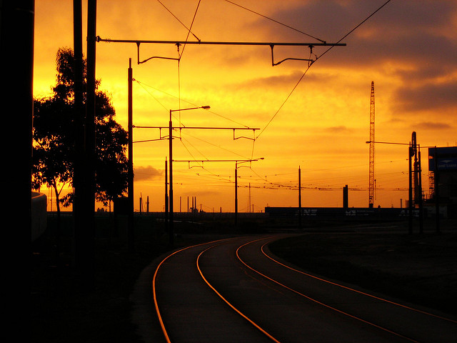
澳洲墨爾本度過史上最熱的秋天。圖片來源:Gopal Vijayaraghavan(CC BY 2.0)。
澳洲氣象局表示,今年3月份,熱浪延長時是澳洲最熱的時候,西澳曾測到47°C高溫。氣象局長Karl Braganza表示:「強烈的聖嬰現象與全球暖化互相加成下,推升了秋天最高溫,這是自1910年有紀錄以來的最高溫。除了澳洲西南部之外,各地都是異常高溫。」
「我們觀察到3月夏季時間延後,並持續到5月初。3月創下史上最熱紀錄,4月白天溫度也都創新高,至5月結束前,我們測量到的溫度都高於均溫。」海面溫度在秋季大多數時間亦高於平均值,包括大堡礁和塔斯曼海,自夏末以來都持續記錄到高溫。
這是典型的聖嬰現象,同時也讓澳洲大陸更乾燥。然而科學家相信太平洋地區已渡過聖嬰現象,氣象局預測接下來是典型的冬季氣候。
「這個冬天,雪梨、墨爾本、布里斯本和坎培拉都出現低於均溫的怪現象,而新南威爾斯省內陸、昆士蘭多數地方、維多利亞州和南澳州出現適度降雨」Braganza局長補充道。秋天的降雨大致正常,但整個澳洲的變化卻相當大。
澳洲一些地方也歷經自1983年來最濕的5月,一些地區還記錄到高於4倍平均值的降雨(如:Cape York, Pilbara, Kimberley)。 南澳與西澳享受高於平均的降雨時,東澳與北澳區域卻在經歷更乾燥的天候。預測當反聖嬰現象開始發威時,年底到來的春季跟夏季將出現更冷與更濕的天候。

Australia records warmest autumn ever
The mean temperature between March and May was 23.86C but winter could be cooler than normal as El Niño wanes

After officially sweltering through the warmest autumn on record, Australians can expect a return to normal chilly weather this winter.
The mean temperature between March and the end of May hit a fresh high of 23.86C, with records set in Queensland, NSW, Victoria and the Northern Territory.
Thermometers hovered 1.86C above average, the biggest climb above an average seasonal temperature since spring 2014.

Some of the hottest temperatures were recorded during the prolonged heatwave in March, with Mardie in Western Australia’s north hitting 47C, the Bureau of Meteorology said.
Karl Braganza, the bureau’s manager of climate monitoring, said a strong El Niño combined with global warming to push thermometers to their highest levels for autumn since records began in 1910.
“Everywhere except the southwestern corner of the continent was exceptionally warm,” he told AAP on Wednesday.
“What we saw was a prolonged summer period in March and that continued into the start of May.”
March notched up its hottest days on record, with daytime temperatures in April hitting new highs before May ended the season with temperature gauges sitting above average.
Sea surface temperatures were also above average for much of autumn, with water temperatures in the Coral Sea (including the Great Barrier Reef) and the Tasman Sea the highest on record for extended periods since late summer 2016.
This was typical of the El Niño pattern which also brings dry conditions across the continent.
But scientists believe El Nino was now over in the Pacific region and the bureau forecast a normal winter.
“The odds are for average to below average temperatures in Sydney, Melbourne, Brisbane and Canberra,” Braganza said, adding that there were moderate odds for good rain in inland NSW, most of Queensland, Victoria and South Australiathis winter.
Autumn rainfall averages were closer to normal, but varied significantly across the country.
It was also the wettest May since 1983 in some areas, with four times the average rainfall recorded in the Northern Territory, Cape York, Pilbara, Kimberley and central South Australia.
South Australia, Tasmania and Western Australia enjoyed above-average rain while NSW, Queensland, Victoria and the Northern Territory were drier than normal.
Looking towards spring and summer, cooler and wetter conditions are tipped for the tail end of 2016 as a La Nina weather system develops.
沒有留言:
張貼留言